The Hot Spring:
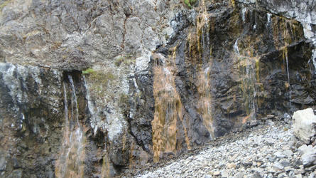
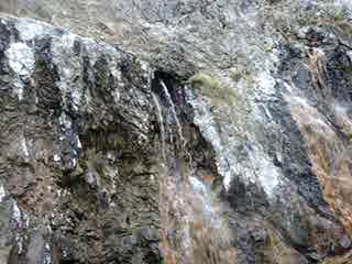
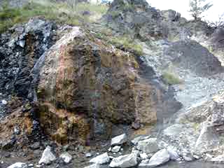
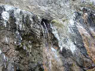
Shower Bath Hot Springs are located in a small canyon formed by warm springs creek. To reach the springs you walk through a narrows with 200 foot high cliffs on either side and swift flowing water. After a couple hundred yards canyon opens up on the west side and hundreds of gallons of hot water showers out of the cliff. There are over 10 seeps, some with holes about a foot wide and water gushing out forming a natural shower. Shower bath feels like a magic fairy land after walking in the cold creek through a narrows turning a corner to see sunlight creating rainbows through the water showering out of the rugged orange algae stained cliff.
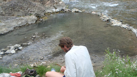
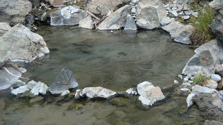
Several pools have been created with rocks from the cliff and sand and gravel from the river. The main pool is in the center of the open area up against the cliff. The water temperature is about 106 degrees f in the pool and hot water mists you while you soak. Most of the other sources are very hot with temperatures around 120 degrees f. These sources all flow together and seasonal sand and gravel pools are dug next to the river where the hot water and cold water can mix to the desired temperature. The best camping is on the other side of the narrows near Sitz Hot Spring but one campsite with enough room for two tents is located directly next to Shower Bath.




This is an amazing spring to
This is an amazing spring to visit even if it is very hard to get to.
-You park near the right turn on the forest road 86 due south of fly creek point.
-From here you hike down some switchbacks.
-Once you get to the bottom of the switchbacks, there will be a little pond to your right with a path along the left side that you can follow down to mahoney creek.
-There is a path along mahoney creek (the path is NOT well maintained, lots of burnt logs across the path from the fire and some sections have collapsed into mahoney creek). You follow that down for maybe 2 miles until it runs into warm springs creek.
-Turn left and head southeast along the trail with warm springs creek to your right, when you see a little wooden shack you are about halfway. There is a lot of room to camp where the Sitz springs are (or are supposed to be, they were dry in august 2013).
-The trail pretty much ends here so you have ford upriver for 300+ yards.
-As soon as you can get onto the bank on the right side of the river and walk several hundred more yards and you will see my favorite hotsprings. Enjoy!
Some notes/tips on getting in:
-Check with the ranger station in Challis to see how deep warm springs creek is. If it is deeper than 2 feet fording up the river will be difficult, if it is deeper than 3 feet it will be dangerous as the water is cold and moves at a good pace against you.
-You might be able to do this as a day hike but I would not recommend it if you want to spend much time at the springs.
-It is accessible after mid July, there was a 7 foot tall snow drift (15 feet deep) across the road when I went in July 4th 2014.
-Remember, the hike down is actually fairly easy, but the hike back up is VERY taxing.
-If it is hot I HIGHLY recommend bringing at least 5 liters of water for the hike from mahoney creek back up to your car. I normally try to leave a gallon of water at the bottom of the switchbacks for the hike back up. Mahoney creek is the last running water you can filter water from, so I like to fill up out of that if I can otherwise you have to filter water from the pond at the bottom of the switchbacks which is pretty stagnant and full of pond scum.
-Sitz hotsprings had run dry when I visited in august of 2013.
-I recommend hiking back out in the morning before it gets too hot if you are backpacking in.
Post new comment